DESCRIPTION
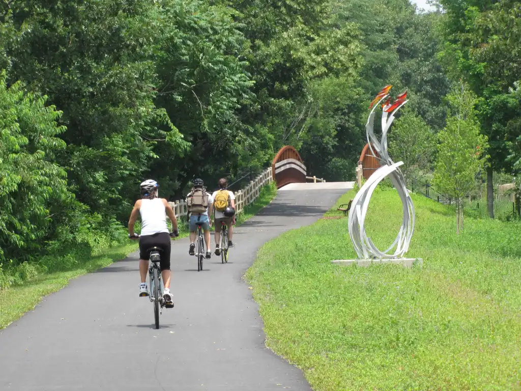
The Clipper City Rail Trail (3.3 miles, paved) connects the MBTA commuter rail station to the Harborwalk along the waterfront. A newer section follows the bank of the Merrimack River to Water Street and connects through the South End under High Street to Parker Street in Newbury.
It showcases sculptures, a gallery of local paintings, and views over the Merrimack River estuary with great birdwatching.
CONNECTIONS
The Clipper City Rail Trail connects to the southern end of Salisbury’s Eastern Marsh Trail via the Route 1 Gillis Bridge.
TRAILHEADS
MBTA Communter Rail Parking Lot: North of Route 1 traffic circle in Newburyport turn left on Parker St. Paid parking in the MBTA lots.
Washington Street Trailhead: Entrance to the Clipper City Rail Trail on Washington Street in Newburyport, MA. Follow Winter Street (which is a one way street) to Washington Street. Limited parking is available on street in and around the trailhead entrance.
High Street Trailhead: Entrance to the Clipper City Rail Trail on High Street in Newburyport, MA. Free parking is available on street around the trailhead entrance.
Low Street Trailhead: Entrance to the Clipper City Rail Trail on Low Street in Newburyport, MA. Free parking is available at the Graf Skating Rink on Low Street west of the trail.
Cushing Park: Free parking for the Clipper City Rail Trail at Cushing Park on Kent Street in Newburyport, MA.
Parker Street Trailhead: A few free parking spaces are available at the Parker Street entrance.


