
SALISBURY
3.6 miles paved
Connects to Ghost Trail, Clipper City Rail Trail & Seabrook-Salisbury Trail Connector


DESCRIPTION
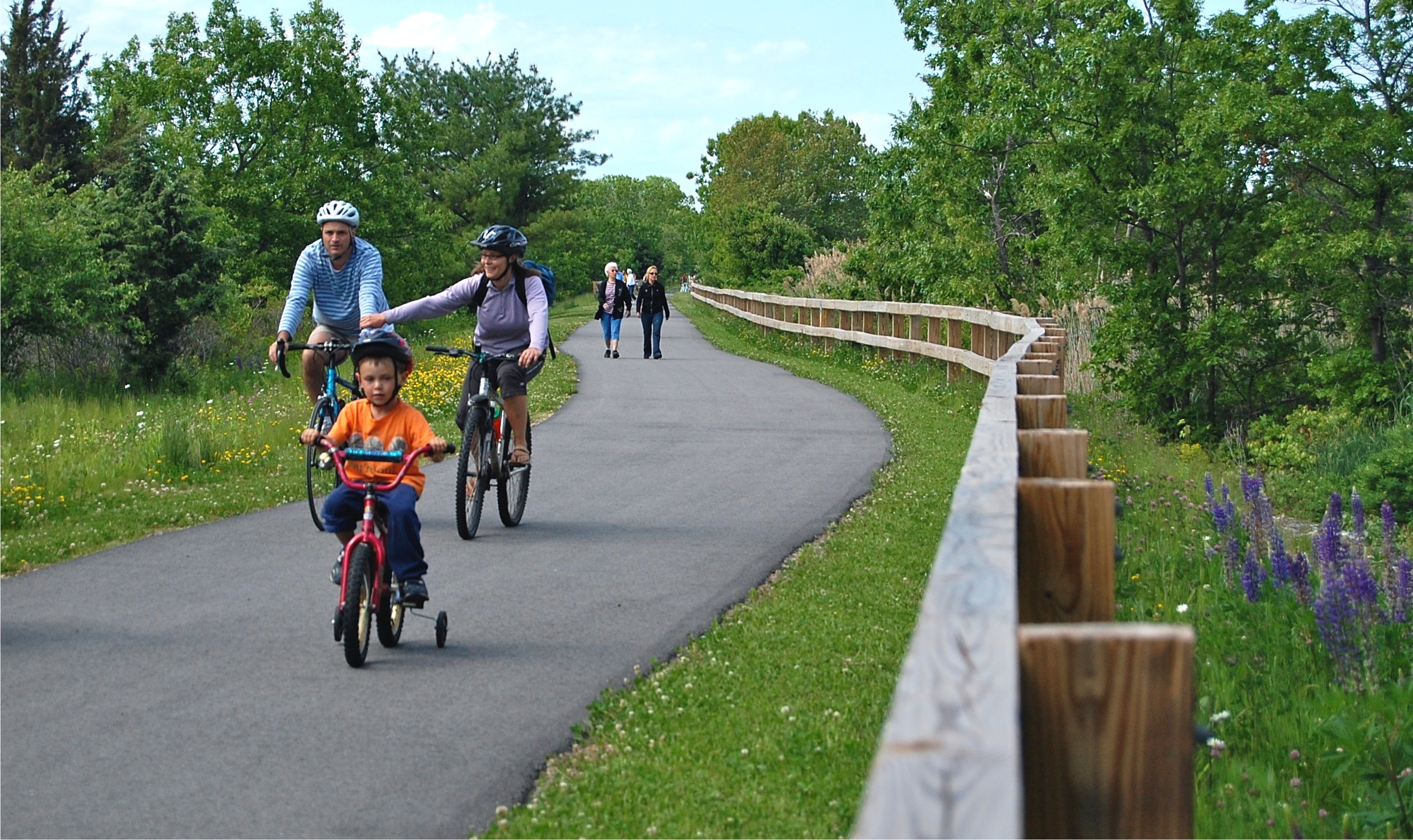
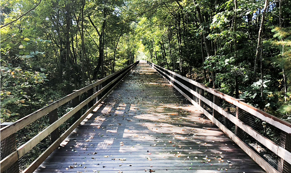
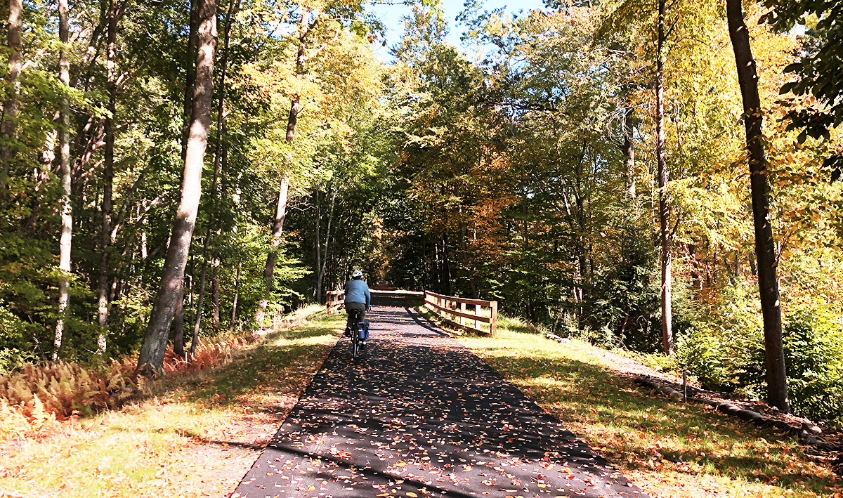
The Old Eastern Marsh Trail (3.6 miles, paved) offers views of the Merrimack River, a nature trail near the 0.4 mile marker, and a beautiful expanse of the Great Marsh with a tidal river crossing, a wooded boardwalk, a trail bridge over US Route 1, and miles of woodlands. It connects to the Ghost Trail at Lion’s Park and to the Clipper City Rail trail.
Sites and features along with way include:
- Merrimack River overlook
- Steven’s Nature Trail
- Great Marsh with tidal river crossing
- Nesting turtles in June
- Birdwatching
- Beautiful woodlands
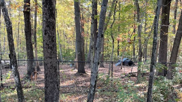
- Fenced dog park
- Salisbury Elementary School
- Interpretive signs
- Partridge Brook Park
The trail is maintained by the Town of Salisbury and Coastal Trails Coalition volunteers.
CONNECTIONS
The Old Eastern Marsh Trail connects to the Clipper City Rail Trail to the south, the Ghost Trail to the west and the Seabrook-Salisbury Trail Connector to the north.
Eastern Marsh Trail to Clipper City Rail Trail: Exit the south end of the trail at Friedenfels Street and take the Gillis Bridge Connector trail under Route 1. Cross the Gillis bridge via the sidewalk to pick up the Clipper City Rail Trail in Newburyport.
Eastern Marsh Trail to Ghost Trail: The Eastern Marsh Trail connects to the Ghost Trail at Lion’s Park. The Ghost Trail heads 2 miles west to Elm St in Amesbury.
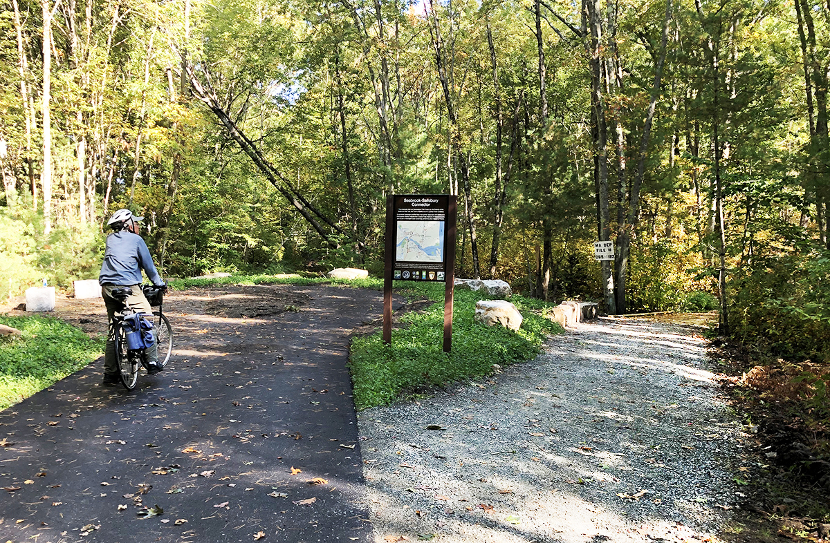
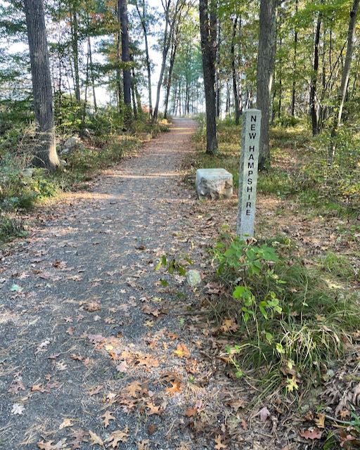
Eastern Marsh Trail Seabrook-Salisbury Trail Connector: The northern end of the Eastern Marsh Trail connects to the Seabrook-Salisbury Trail Connector at the MA/NH state line.
ACCESS
The Old Eastern Marsh Trail can be accessed from Friedenfels Street, Mudnock Rd, Route 110 (Elm St), Gardner St, Lion’s Park, and from US Route 1 at the Hilton Senior Center, the rail trail bridge crossing and at Salisbury Elementary School.
PARKING
Friedenfels Street: 1 Friedenfels St, Salisbury, MA (42.8192, -70.8709)
From US Route 1 in Salisbury, turn onto Friedenfels Street at the foot of the Gillis Bridge over the Merrimack. Portside Restaurant is on the opposite side of the street from Friedenfels Street. Park in the lots at the granite railroad bridge.
Lion’s Park: 90 Lion’s Way, Salisbury, MA (42.8446, -70.8653)
From US Route in Salisbury turn on Gardner St (near Dunkin’ Donuts). Turn right onto Lion’s Way and park in the lot at the end of the road.
Hilton Senior Center: 43 Lafayette Rd, Salisbury, MA (42.8464, -70.8639)
From US Route 1 in Salisbury turn into the entrance of the parking lot for the Hilton Senior Center and the Salisbury Fire Station. A 5-ft paved path leads from the Hilton Center to the trail.
Salisbury Elementary School: 100 Lafayette Rd, Salisbury, MA (42.8553, -70.8663)
From US Route 1 in Salisbury turn into the entrance of the Salisbury Elementary School. Turn right into the second parking lot and park at the far end by the trail entrance.
Seabrook Firemen’s Parking Lot: 28 Collins Street, Seabrook, NH (42.8702, -70.8620)
From US Route 1 in Salisbury turn east onto Route 286 (Collins St.), shortly after crossing the old railroad bridge at the MA/NH state line turn right into the fire station parking lot and park near the trail entrance in the rear. The Seabrook-Salisbury Trail Connector is a 0.2 mile stone dust trail leading to the north end of the Old Eastern Marsh Trail.
FUTURE PLANS
The Old Eastern Marsh Trail is complete. The first portion of the trail, which runs from the Merrimack River to Mudnock Road was opened in 2010 The extension of the trail to the Massachusetts/New Hampshire line opened in the fall of 2021.
The northern end of Old Eastern Marsh Trail currently ends in Seabrook NH. Plans are underway for the New Hamphire Seacoast Greenway (NHSG). NHSG is a proposed bicycle and pedestrian route that will connect the eight coastal communities of Seabrook, Hampton Falls, Hampton, North Hampton, Rye, Greenland, New Castle and Portsmouth. The route will total 17.2 miles, and it is anticipated that virtually all of it will use the abandoned corridor of the former Boston and Maine Railroad from Seabrook to Portsmouth.
In a larger context, the Old Eastern Marsh Trail is a link in the East Coast Greenway, a nearly 3,000-mile network of connected trails from Calais, Maine to Key West, Florida.
